

Pocket Fire grows to 27,000+ acres, containment increases

(Previous report) Pocket Fire: Pilots navigate around restrictions
Despite a temporary flight restriction over the 15,000+ acre Pocket Fire north of Sedona, local helicopter companies continue to operate by modifying their tour routes. FOX 10's Megan Spector reports.
COCONINO COUNTY, Ariz. - Firefighters continue to battle the Pocket Fire, which is burning approximately seven miles north of Sedona.
The fire, according to Coconino County officials, began on Friday, June 19. Its cause is unknown.
Latest Update:
The U.S. Forest Service says that the fire has burned 27,393 acres, and containment is at 76%. On July 13, Seven Canyons, Enchantment Resort and Oak Creek Canyon will be downgraded from SET status to READY.
"The decision to downgrade the "SET" status was made in conjunction with United States Forest Service. While conditions have improved to allow this adjustment, residents will continue to see smoke and fire activity for the foreseeable future," the Coconino County Sheriff's Office said.
Meanwhile, officials in Coconino County are maintaining a map of evacuation zones, and their current evacuation status.
State Route 89A has reopened between Flagstaff and Sedona.
Local perspective:
The Pocket Fire has triggered flight restrictions over Sedona, with the Federal Aviation Administration having issued a Temporary Flight Restriction (TFR) over the Pocket Fire.
"A TFR is an area where it’s been zoned for the firefighting aircraft so they can do what they need to do and not be bothered by anybody else flying in and out of there," Apex Air Chief Pilot Steven Delgado said. "We’re staying out of their way, out of that TFR."
The TFR means Sedona aerial tour operators, like Apex Air, are required to take a detour.
"We’ve modified the tour for sure to stay out of the TRF," Delgado said. "Not only are we staying out of the TFR, we’re staying well away from it. We don’t go up against it."
Pilots like Delgado know the skies are getting crowded.
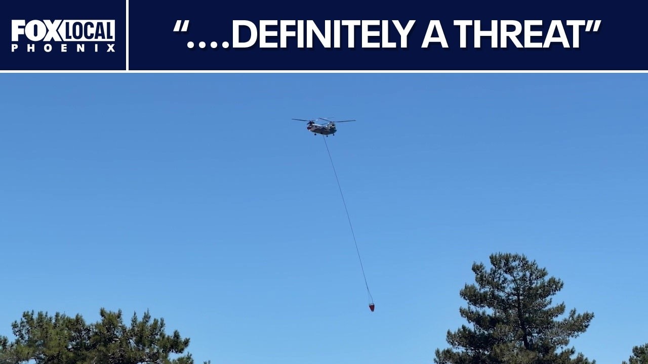
"We see aerial tankers doing drops, and we’re seeing the aircraft with long lines with their buckets in and out of there, the Chinooks and the Black Hawks, and the S-61s," Delgado said.
Just because their route has changed does not mean business has stopped.
"We’re still open, and we’re still offering a fantastic tour," Delgado said.
(previous report) Pocket Fire burns over 11,000 acres in Arizona
The Pocket Fire has scorched more than 11,000 acres and remains at 0% containment. Meanwhile, fire crews from across the country are working on the fire. FOX 10's Megan Spector has more.
Big picture view:
Meanwhile, tourists traveling to the area have noticed the heavy smoke blanketing Sedona.
"On the way driving up, you can see the smoke," one tourist said.
"You turn the corner on the highway, and it was like woah." Another tourist remarked, "I did see when we were looking on the map yesterday that it was a decent-sized fire, so yeah, the smoke definitely looks that way."
As the fire continues to grow north of Sedona, onlookers have also reported seeing the blaze at night.
"Last night, because it was dark outside, you could see the flames popping up," a tourist noted.
Another traveler added, "We started seeing the fire as we were coming up the interstate, I guess it’s 17 and yeah, we saw it growing in the distance as we got closer."
U.S. Forest Service Alerts
https://www.fs.usda.gov/r03/coconino/alerts
Apex Air
https://flyapexair.com/