

Arizona weather forecast: Cooler and windy on Tuesday in Phoenix
6 p.m. Weather Forecast - 3/18/2025
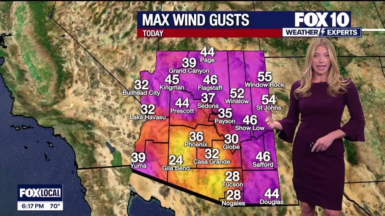
Wind gusts came close to 50 mph in the eastern part of the state as we prepare for temperatures to warm up later this week in the Valley.
PHOENIX - After two weeks of active weather, the pattern will start to calm down this week.
What To Expect:
One final storm is forecast to impact the state through Tuesday.
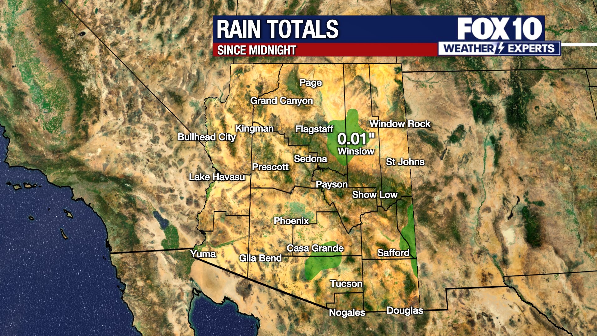
A cold front enters the state on Tuesday morning. The front will bring patchy and light rain to snow showers in northern Arizona. For the most part, any snow that falls will be light to a coating at the highest elevations. Over the Kaibab Plateau, several inches of snow may fall.
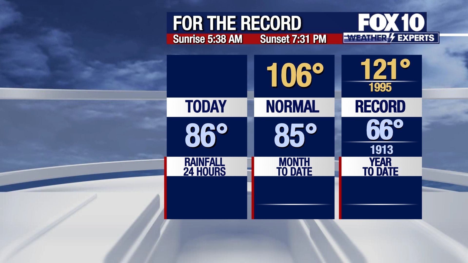
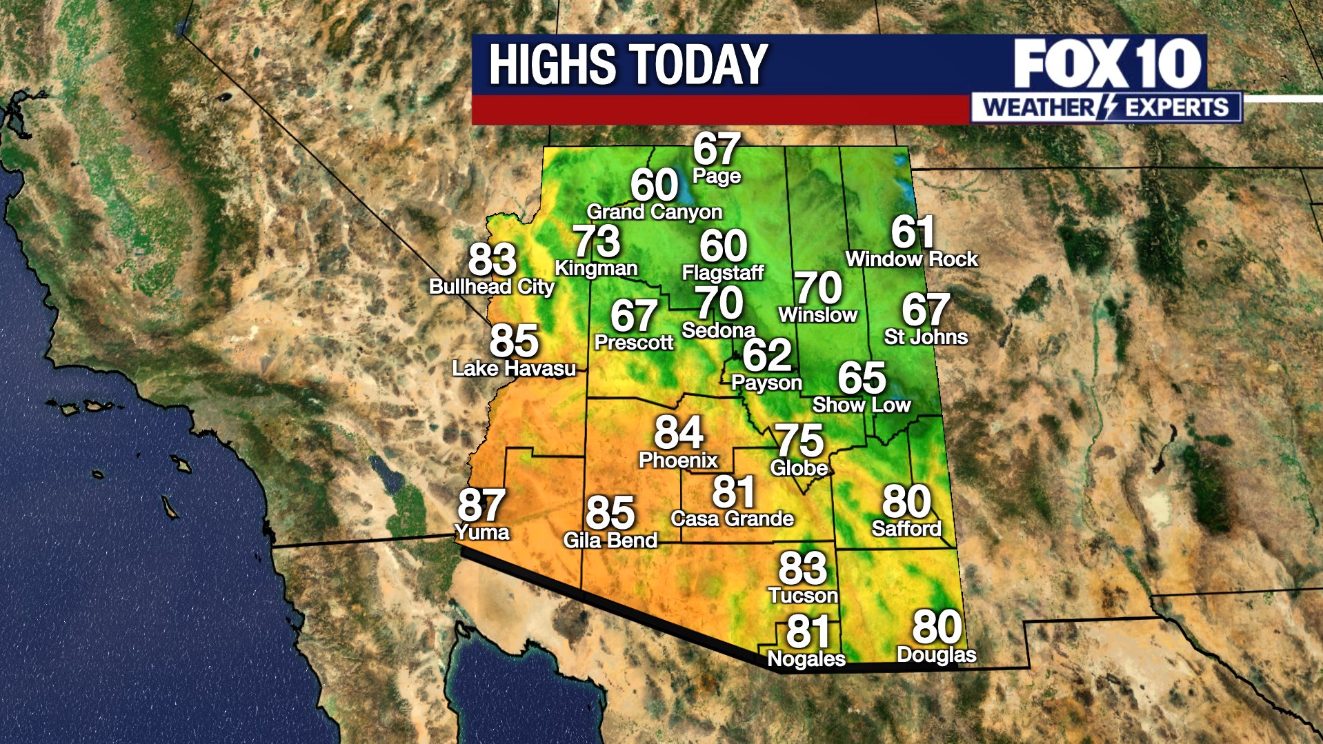
A few lingering, scattered rain/snow showers may pass over northeastern Arizona through the day, Tuesday. Thanks to the cold front passage, afternoon highs will take a drop with 72 degrees forecast in the Valley. Gusts will also increase: up to 25-30 mph in Phoenix and 35-45 mph in Flagstaff. A Wind Advisory is in place through Tuesday in northeastern Arizona.
By Wednesday, the state dries out and temperatures start to slowly rebound. The middle 70s are forecast for Wednesday, the low 80s on Thursday and Friday, the middle 80s on Saturday and upper 80s by Sunday.
What's next:
Early next week looks hot! Temperatures make a return to the 90s with sunshine.
You can always check the latest weather conditions by visiting the FOX 10 Phoenix weather page, or download the Free FOX 10 Weather app, which is available on Apple iOS and Android.
Scroll down this page for satellite and radar, day planner, records, current temperatures, 10-day forecast, forecast highs, and recent rainfall totals, plus live video feeds.


Road Conditions
- Call 511 anywhere in Arizona or 1-888-411-ROAD (7623)
- az511.com