Arizona wildfires 2023: What to know about the fires burning in the state
Peak wildfire season has begun in Arizona as several fires have popped up across the state.
We have a look at each fire, how big it is, the communities impacted, and who should be evacuating, or who should be ready to evacuate.
Here is a link to a map of the different wildfires across the state.
Windstone Fire

Windstone Fire: 1 structure destroyed in Wittmann
The Windstone Fire broke out on the night of Sept. 6 near 315th Avenue and Montgomery Road. Rural Metro Fire says the fire is 65% contained after burning 152 acres. About 100 firefighters initially responded to the scene, and at least one structure was destroyed.
Brady Fire
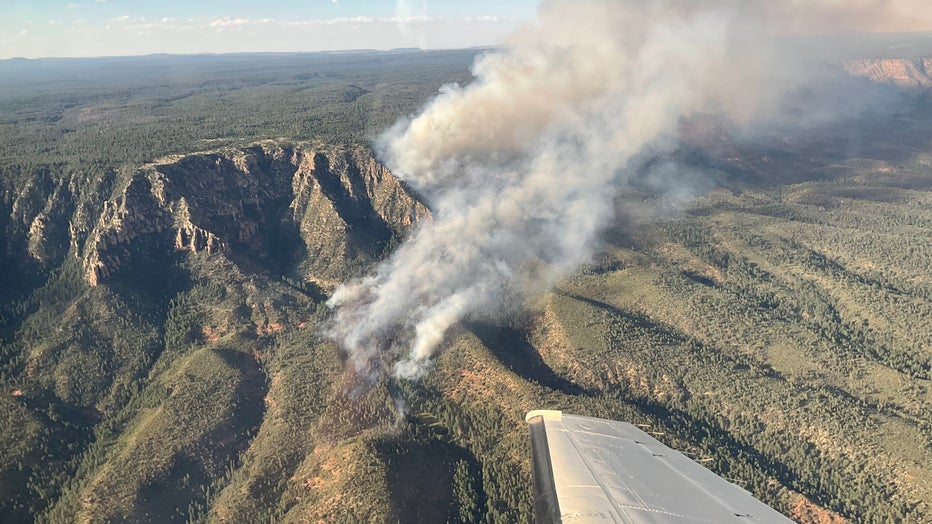
The Brady Fire, which started on Aug. 6, is burning 11 miles north of Payson near the Mogollon Rim.
More information can be found here.
Kane Fire

Kane Fire burns near Jacob Lake
A lightning-sparked wildfire has burned 2,854 acres southeast of Jacob Lake in the Kaibab National Forest. The fire is 38% contained.
The Kane Fire was sparked by lightning on Aug. 4 and is burning in the Kaibab National Forest in northern Arizona.
More information can be found here.
Bowl Creek Fire
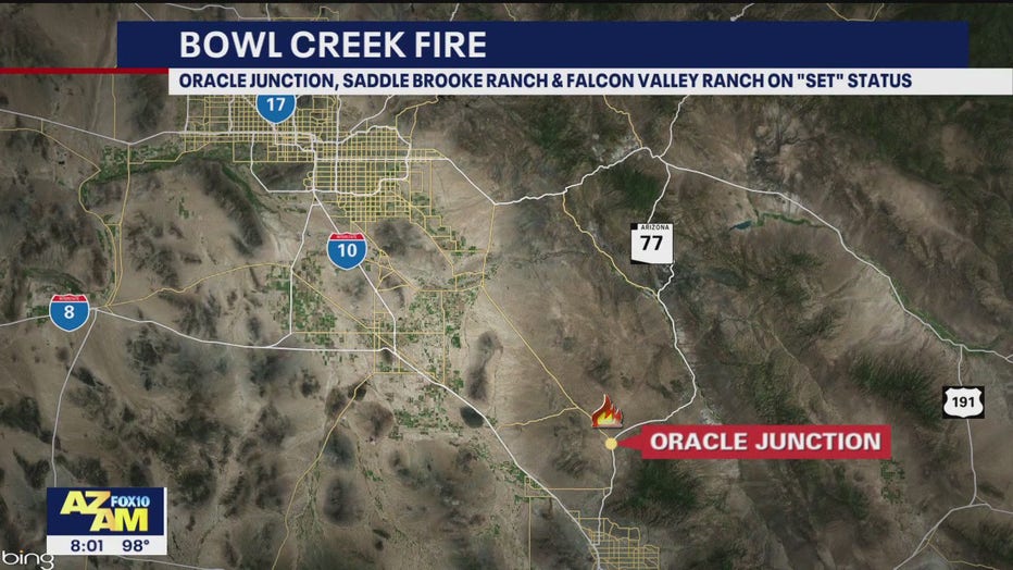
The Bowl Creek Fire is 100% contained after burning northwest of Oracle Junction near south State Route 79 and west State Route 77.
More information can be found here.
Diamond Fire
Featured
Diamond Fire burning in Tonto National Forest threatens small communities
The Diamond Fire, burning southeast of Indian Spring Peak, can be seen from Highway 87 as crews work to contain the fire over the weekend.
Racetrack Fire
Featured
Racetrack Fire burns near town of Cherry in northern Arizona
Yavapai County residents in the area of Federal Mines Road in the town of Cherry are in SET mode Sunday afternoon because of the Racetrack Fire.
Grapevine Fire

Grapevine Fire burns east of Prescott Valley
A new wildfire has broken out in the Prescott National Forest. As of July 22, the Grapevine Fire has burned at least 30 acres 10 miles east of Prescott Valley.
The Grapevine Fire sparked July 22 and is burning 10 miles east of Prescott Valley.
More information can be found here.
Adams Robles Complex Fire

Robles Fire burns in southern Arizona
The Robles Fire broke out on July 19 just south of I-10, east of Benson. People in the area between I-10, Dragoon Road and Touchstone Road are in "SET" status, so they need to be prepared to evacuate.
This is a combination of the Robles and Adams Peak wildfires burning in Cochise County. Thousands of acres have been burned so far.
More information can be found here.
Guzzler Fire

Guzzler Fire burns more than 1K acres
As of July 20, there's no containment on a wildfire burning 15 miles northwest of Heber-Overgaard. People in the Chevelon Canyon Ranch area are on "SET" status.
The Guzzler Fire sparked in Coconino County on July 19 and is moving towards Navajo County in the Apache-Sitgreaves National Forest.
More information can be found here.
Flying V Fire

Flying V Fire shuts down parts of US 60
A wildfire burning north of Globe has shut down US 60 and has scorched hundreds of acres so far.
A wildfire burning north of Globe has shut down US 60 and has scorched hundreds of acres so far.
More information can be found here.
Pilot Fire

Pilot Fire burns 5K acres in Yavapai County
The Pilot Fire started over the weekend and has since burned 5,500 acres near Wikieup.
Firefighters are battling the Pilot Fire, which is burning in northwestern Yavapai County.
More information can be found here.
Stockton Hill Fire

Wildfire burns near Kingman
Evacuation orders are in effect for the Stockton Hill Fire, which is burning 13 miles north of Kingman.
The Stockton Hill Fire sparked the afternoon of July 4 and has scorched at least 195 acres.
More information can be found here.
Beehive Fire
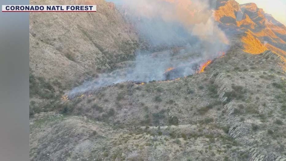
The Beehive Fire sparked on June 30 in Beehive Canyon within the Nogales Ranger District. It is 42% contained. (Coronado NF)
The Beehive Fire has scorched over 10,000 acres in the Coronado National Forest near Nogales. Arivaca Lake and nearby campgrounds have been closed due to the fire.
More information can be found here.
West Main Fire
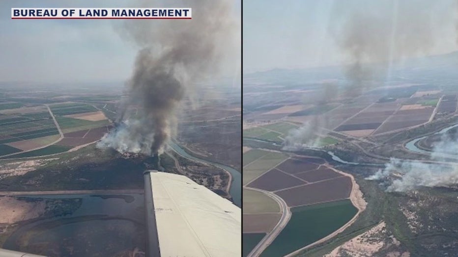
West Main Fire
A wildfire has scorched hundreds of acres north of Yuma. Firefighters say the "West Main Fire" is pushing west into California along the Colorado River.
More information on the fire can be found here.
Diamond Fire

Evacuations lifted for Diamond Fire
FOX 10s Marissa Sarbak has the latest on the Diamond Fire burning near north Scottsdale as residents are able to get back into their homes once evacuations were lifted 24 hours after the fire ignited.
The Diamond Fire forced over 1,000 evacuations in north Scottsdale. Fire officials say the fire started with a construction crew at a new build cutting rebar. One secondary structure was lost in the fire. No injuries were reported.
More information on the fire can be found here.
Western Hemp Fire
The Western Hemp Fire burned on Fort Huachuca in Cochise County, according to the U.S. Army. The Forest Service is providing air support with two tankers and four helicopters.
More information on the fire can be found here.
Two Sides Fire

Two Sides Fire sparks along SR 74
A look at the wildfire that sparked in Maricopa County on June 25 near 235th Avenue and SR 74.
The Two Sides Fire sparked along State Route 74 near Lake Pleasant. The fire burned on both sides of the highway in Morristown, between 235th Avenue and New River Road.
More information on the fire can be found here.
Post Fire
The Post Fire temporarily caused evacuations south of Benson in Cochise County. Hundreds of firefighters were called in to battle the human-caused fire, which also causes road closures and power outages.
More information on the fire can be found here.
Wildhorse Fire
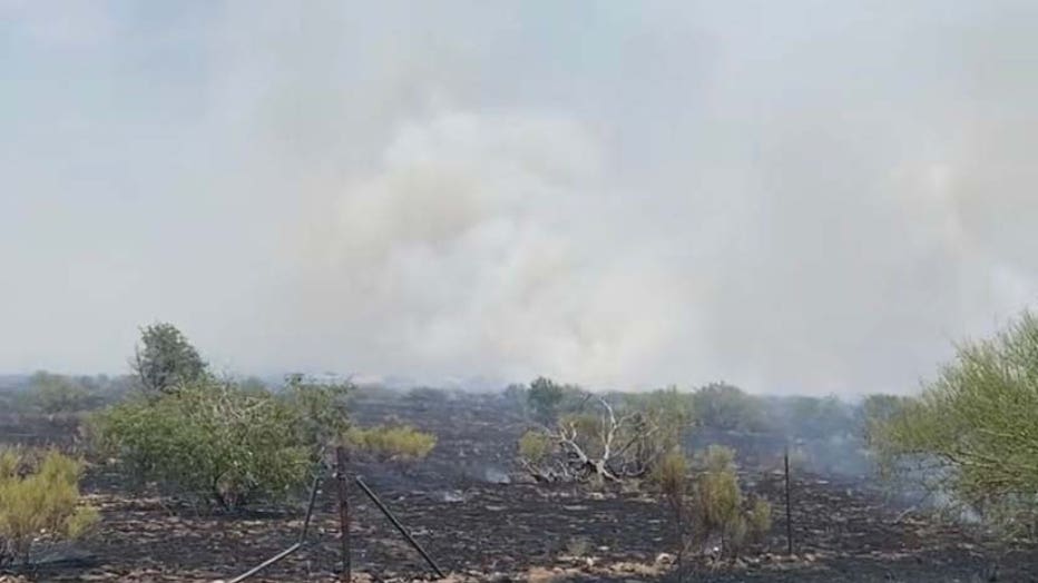
(Arizona Department of Forestry and Fire Management)
The Wildhorse Fire sparked in the Palominas area in Cochise County and forced evacuations and road closures. The fire burned almost 750 acres before being fully contained.
More information on the fire can be found here.
Ventana Fire
The Ventana Fire sparked in the Catalina Mountains in Tucson and closed several hiking trails. The fire burned two miles north of the Craycroft and Placita Alta Reposa areas.
More information on the fire can be found here.
Oak Fire
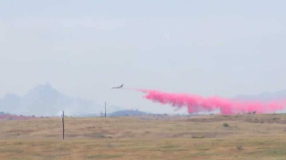
Oak Fire
The Oak Fire burned thousands of acres in the Coronado National Forest. Strong winds fanned the fire, which temporarily shut down Highway 83 near Sonoita.
More information on the fire can be found here.
Kelvin Fire
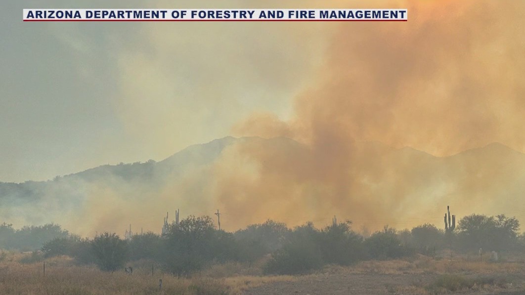
Kelvin Fire burns near Kearny
The Kelvin Fire, according to Forestry officials, has burned an estimated 250 acres of land, and Forestry crews, along with Bureau of Land Management crews, are battling the fire.
The Kelvin Fire sparked near Kearny in Pinal County and burned about 250 acres. The fire temporarily shut down State Route 177.
More information on the fire can be found here.
Biosphere Fire

Fire burning near Biosphere 2 contained
A wildfire burning near the Biosphere 2 facility in southern Arizona is now fully contained. The fire sparked Sunday and burned 13 acres. No evacuations were ordered.
A wildfire that burned about a half-mile from the Biosphere 2 science facility in southern Arizona is fully contained. The Biosphere Fire sparked northwest of Oracle Junction and north of metro Tucson.
More information on the fire can be found here.
Bullet Fire

Bullet Fire emergency closure in effect
The fire is reportedly contained but crews continue to mop up hot spots. The area of Lower Sycamore and Sugarloaf will be closed to the public during the fire suppression effort.
The Bullet Fire burned over 3,000 acres near State Route 87 in the Lower Sycamore area. The fire temporarily forced evacuations and road closures before being fully contained.
More information on the fire can be found here.
Red Mountain Fire

Aerials over Red Mountain Fire in Arizona
A wildfire deemed the Red Mountain Fire is burning along SR 87, known as Beeline Highway, near Ballentine Trailhead. SkyFOX was overhead on May 30 to see the traffic back up as well as air tankers dropping water and fire retardant to put out the fire.
The Red Mountain Fire burned north of Fountain Hills along the Beeline Highway. The fire burned about 12 acres near Ballentine Trailhead.
More information on the fire can be found here.
Cloud Fire
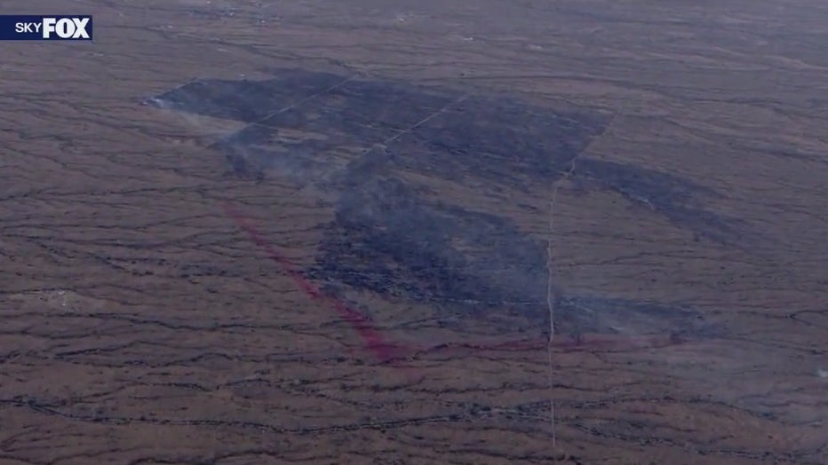
Cloud Fire near Wickenburg
The Cloud Fire burned over 800 acres outside of Wickenburg. The wildfire sparked near Vulture Mine Road and Whispering Ranch Road.
More information on the fire can be found here.
Rolls Fire
The Rolls Fire sparked near Fountain Hills and burned nearly 250 acres.
More information on the fire can be found here.
Williams Fire

Williams Fire in Cochise County burns down several structures
Firefighters are battling the Williams Fire in Cochise County that sparked on April 3 and because of the high winds in the state, the fire is reported to be erratic. Chanse Frenette captured footage of the fire as it grew to 500 aces in less than 24 hours.
The Williams Fire burned over 1,300 acres and temporarily forced evacuations in Cochise County. At least five buildings, including two homes, were lost in the fire. The fire sparked along the San Pedro River, south of Hereford Road.
More information on the fire can be found here.
River Fire
The River Fire burned about 125 acres on both sides of the Arizona-California border near Yuma. The wildfire is believed to be human-caused.


