

2 lightning-struck victims rescued from Humphreys Peak, CCSO says

2 lightning strike victims rescued off Arizona mountain
Stormy weather forced rescuers to complete a five-mile, on-foot operation on a northern Arizona mountain Wednesday after two people were struck by lightning, the Coconino County Sheriff's Office reported.
COCONINO COUNTY, Ariz. - Two people were struck by lightning on a northern Arizona mountain on Wednesday, the Coconino County Sheriff's Office said.
A five-mile-long rescue operation was completed Oct. 22 on foot as a rescue helicopter couldn't fly due to stormy weather.
What we know:
The Coconino County Sheriff's Office says the two victims were struck while on Humphreys Peak, which is north of Flagstaff.
Rescue crews made their way five miles up to the top of the mountain because CCSO said its helicopter was grounded due to weather.
Two people were struck – they both did not know each other – one was from Flagstaff and the other was from Canada. They were taken to the hospital for treatment, and their conditions aren't known.
The mountain's peak is just over 12,600 in elevation, and at one point, rescue crews lost contact with the victims who were at the top of the peak, possibly due to stormy weather.
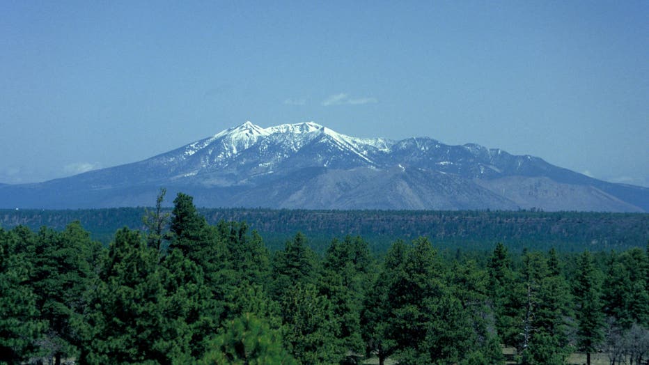
Arizona, Humphreys Peak, Evergreen Forest In Foreground. (Photo by Education Images/Universal Images Group via Getty Images)
Dig deeper:
A thunderstorm passed through the Humphreys Peak area early Wednesday, part of a broad area of showers and thunderstorms across a good portion of Coconino County.
The National Weather Service (NWS) Flagstaff office reported another thunderstorm over the peaks Wednesday afternoon.

(Previous report) At least 1 person struck by lightning on Humphreys Peak
Coconino County Sheriff’s deputies launched a rescue operation on Humphreys Peak after a lightning strike hit one person. CCSO is also investigating if a second person was injured.
Map of Humphreys Peak
The Source: The Coconino County Sheriff's Office